City of Des Plaines
Located along the banks of its namesake river, Des Plaines, Illinois, has long faced challenges related to flooding. With 1,200 acres located in a FEMA-designated floodplain, it has the most NFIP policies of any community in the state. According to data from FEMA, some homes in the city have been damaged by flooding eight or nine separate times since the mid-1980s.
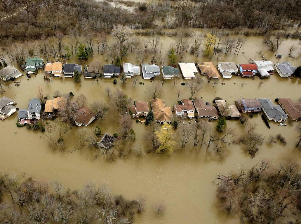 |
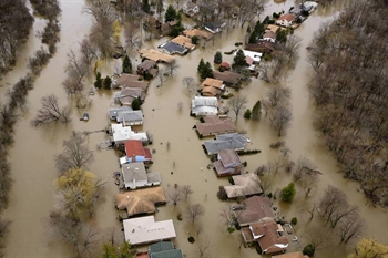
The Big Bend neighborhood, in particular, has experienced flood after flood. It’s located near a sharp turn in the river, with water on both sides of the street. When the river reaches a moderate flood stage, water cascades over the 1970s-era subdivision.
Flooding experienced in April 2013. |
 |
After flooding in 2013 triggered a federal disaster declaration, the city used HMGP funding to begin a three-phase buyout effort. In addition to HMGP funding, the City has also secured Pre-Disaster Mitigation funding from FEMA. The required non-federal matching funds has been provided by the state and the Metropolitan Water Reclamation District of Greater Chicago (MWRD). |
|
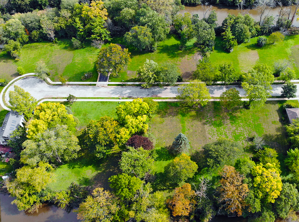
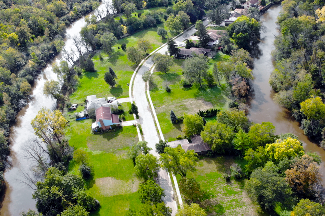
To date, the city has purchased 68 properties. An additional 12 properties are beginning the buyout process. The City’s goal with this project is to remove as many flood-prone structures from this area as possible and restore the area to green space. Images provided by the City of Des Plaines |
 |